Past Webinars
See how use DOT PDFs and CAD data for takeoffs, phasing and analysis then take them to field. Create bid alternatives and scenarios then validate your progress with drones.
Watch the video here.
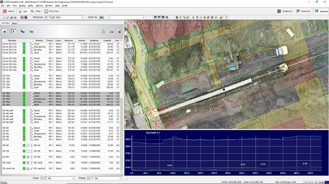
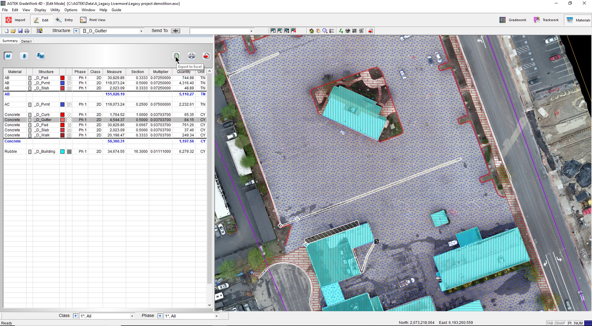
Introducing AGTEK's integrated Underground package demonstrating how to combine your earthwork takeoff with pipe inverts, quantify pipe lengths and structures by depth bracket and analyze excavation quantities by strata. Calculate bedding, cover, select backfill and spoils while also using drone imagery to measure production progress.
Watch the video here.
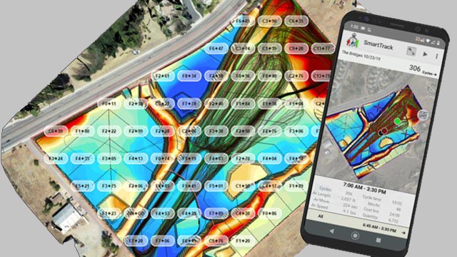
Learn how quick and easy it can be to build accurate grade control models for Leica, Trimble, and Topcon machine control systems using AGTEK software.
Watch the video here.
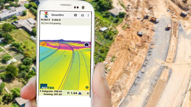
Introducing AGTEK's integrated Materials package with demonstrations on how to streamline your earthwork-materials takeoff process by taking off materials first, before the dirt.Also leverage drone data for validating existing conditions, demolition and tracking materials production.
Watch the video here.
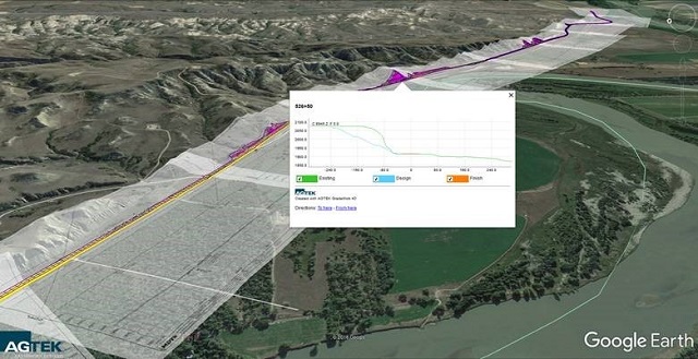
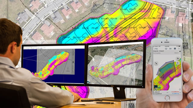
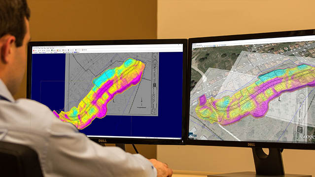
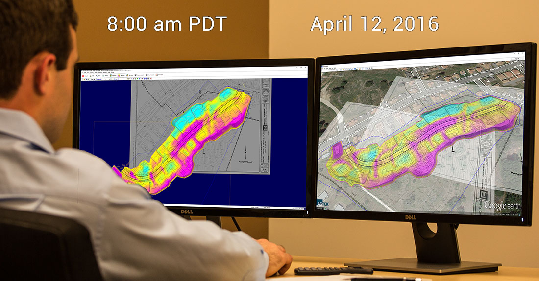
Learn how to improve communications and collaboration on projects by exporting earthwork takeoff data to Google Earth
Watch the video here.
Learn the tricks and organization of CAD files along with simple ways to quickly elevate 2D linework to 3D. A good primer on taking the next steps in making models for Trimble, Topcon, and Leica machine control and using mobile apps in the field.
Watch the video here.
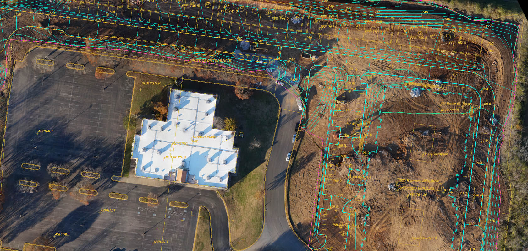
The takeoff basics from ground zero. Scaling PDF's, vectorizing linework, assigning elevations and seeing the results in Google Earth and in AGTEK's mobile apps.
Aimed at the beginners but even the experienced might learn a trick or two.
Watch the video here.
See how Earthwork 4D combines with Drone topos and mobile apps to manage jobs from the dirt foremen's perspective. Quantify areas, plan balances, predict and
estimate completion while seeing te latest 3D model.
Watch the video here.
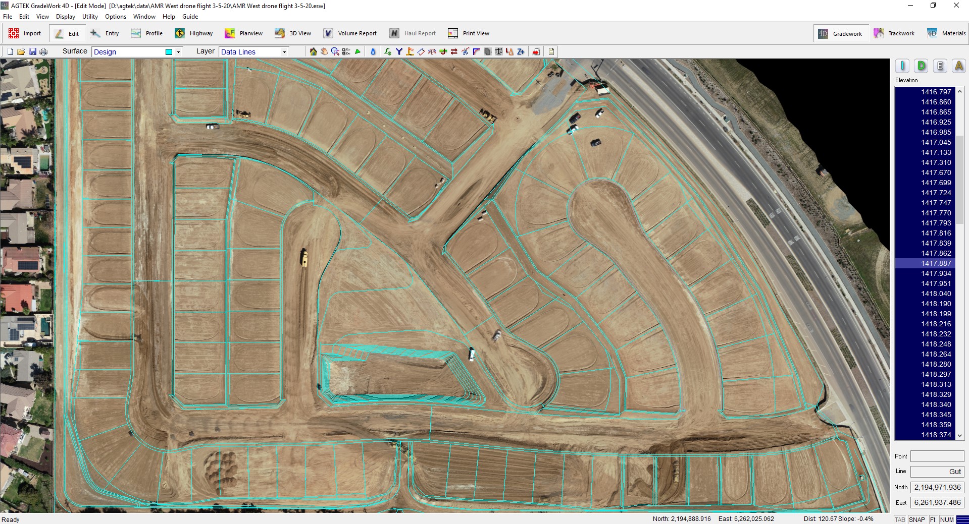
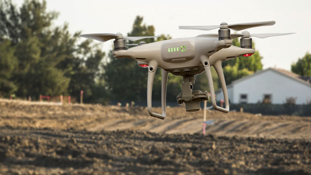
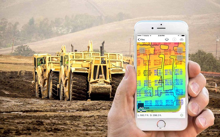
Tips for interpreting drone progress topos including importation, object removal, elevation registration and accounding for compaction and subsidence.
Watch the video here.
A case study with tips for interpreting more accurate progress quantities from sucessive drone topos. Discusses importing drone data into AGTEK, trimming out
obstructions, registration of successive topos and accounting for compaction and subsidence.
Watch the video here.
Those little secrets that make takeoff faster, more efficent, with more applications than maybe you had imagined. PDF tricks, the power tools, special use of surfaces
and speeding up GPS modeling
Watch the video here.
A review of simple techniques for controlling 3D models that control the GPS you use for controlling your jobs. Includes checking outsourced models, editing outsourced
models, building your own generic models, and modeling rough grade from PDFs. Aimed at bosses, project managers, grade supervisors, GPS key men, and takeoff pros.
Watch the video here.
The AGTEK equivalent of Vince Lombardi's "This is a football" starts with "this is a contour" and creatively reviews basic techniques for earthwork takeoff. It
includes On-screen digitizing, advantages of vector PDF's and outputting to Google Earth and your phone. Suited for new users, part-timers and takeoff professionals.
Watch the video here.


 Contact Us