Drone Solutions for Construction
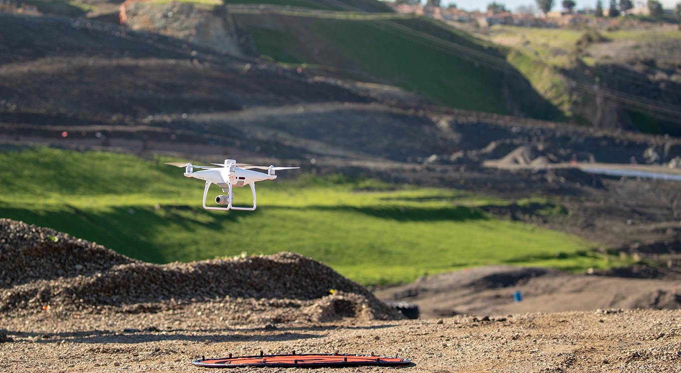
Drones and UAV’s (Unmanned Aerial Vehicles) are fast and effective for accurate validation of site conditions, tracking production progress and providing insights into what work needs to be done, and what has been completed. When drone data is collected in the right way, the results are very detailed, accurate and can be captured with greater ease and safety compared to conventional surveying.
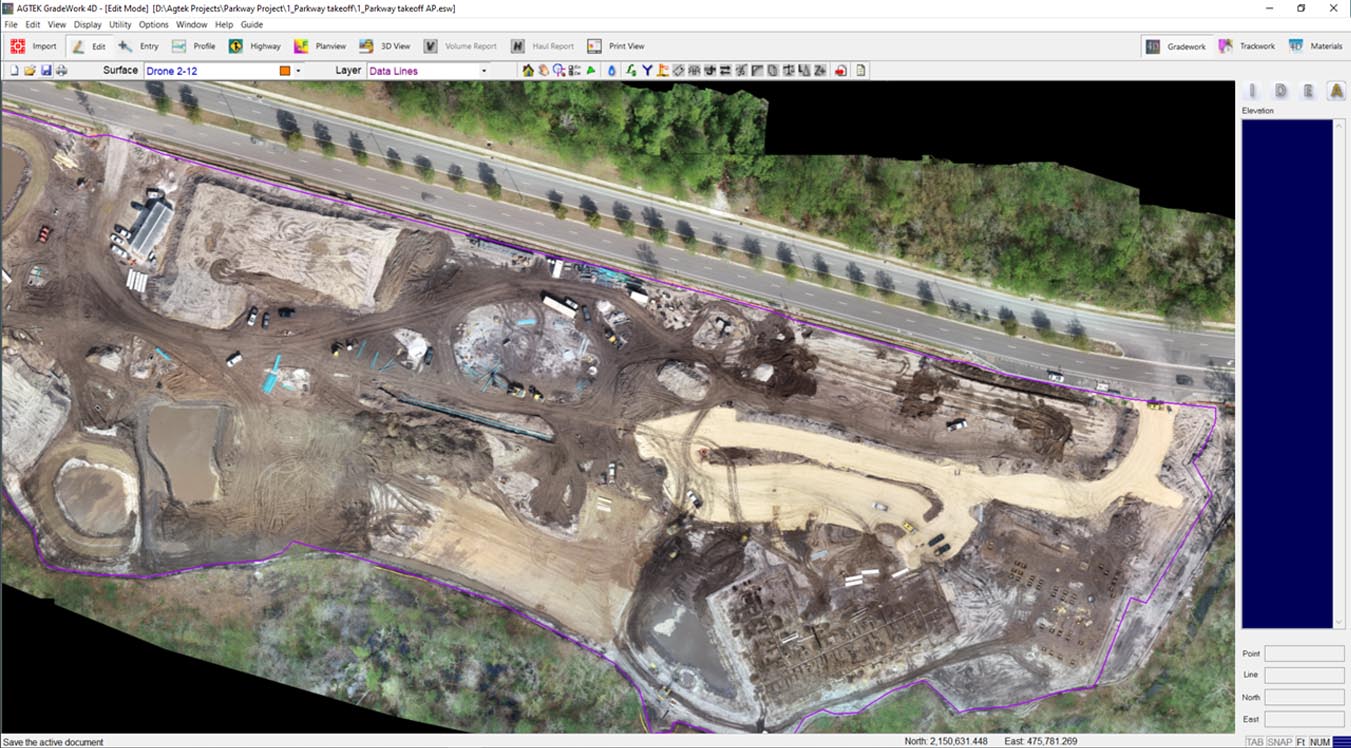
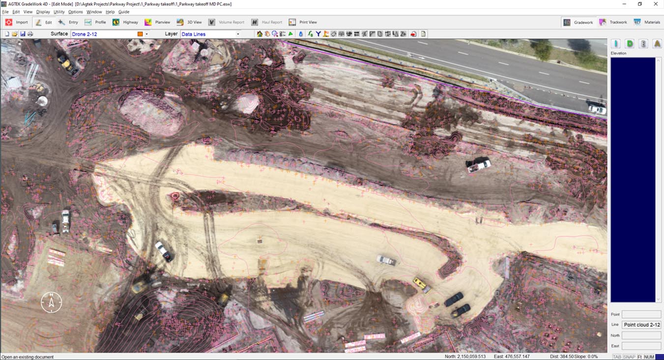
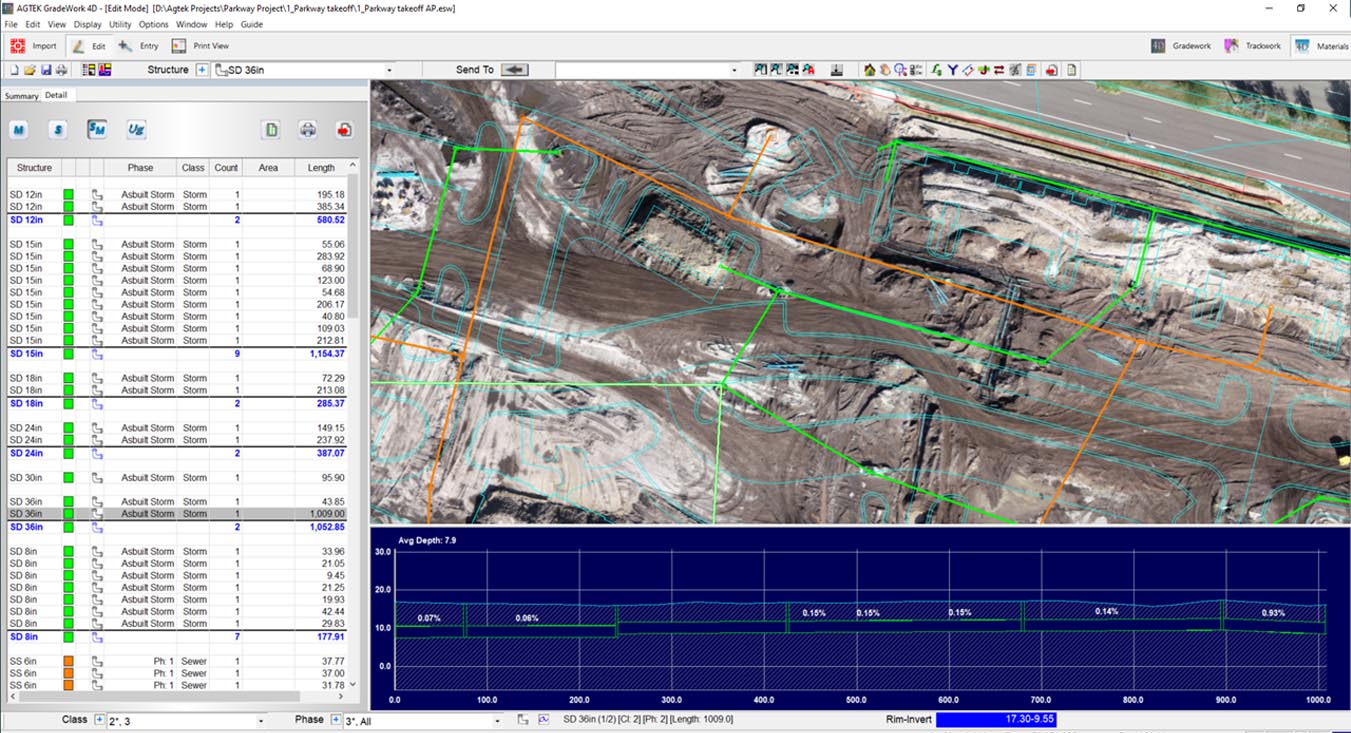
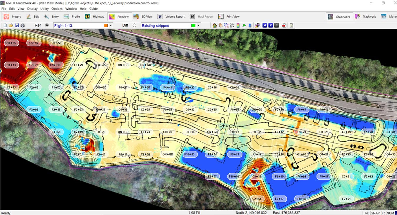
Key elements to successfully deploying drones in construction are the drone itself, the flight planning and data collection process. Straightforward AGTEK software workflows turn the individual images into orthoimagery and point clouds are combined with simple methods to align and validate results.



 Contact Us